QGIS 1 Intro
For this guide, ‘maps’ means land‐maps, the kind of maps that give you directions to the seaside. Whenever I say ‘map‐editor’, I mean land‐maps. Land‐maps can be made and edited, then saved to various file formats, on a basic computer.
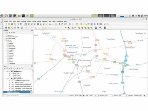
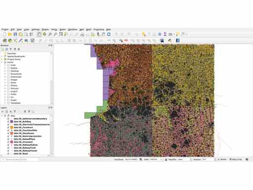
This guide uses the map‐editor called QGIS. QGIS is an open‐source map‐editor. QGIS is good and powerful, for me one of the most impressive open‐source media‐editors. But, like all map‐editors, QGIS is tricky to use, especially if you only want for a few tasks. You want,
But even halfway, you may have only,
So there are good reasons this guide is long. First, it is split into sections, which I hope will live through changes and amendments. But second, the length only reflects that map‐editing is heavy work with complex, specialised software.
But one good thing. This guide is not written by a professional with in‐depth knowledge. Thank goodness. So, if you want to follow along…
Refs
If you prefer a tutorial where everything is marvellous, try this. Also describes some important/interesting features,